More than photos.
BlueSwift provides data that works as hard as your team.
BlueSwift provides data that works as hard as your team.
Our aerial maps offer sharper detail and fresher imagery than satellite photos. They let you spot errors early, gauge current progress, and plan with confidence.
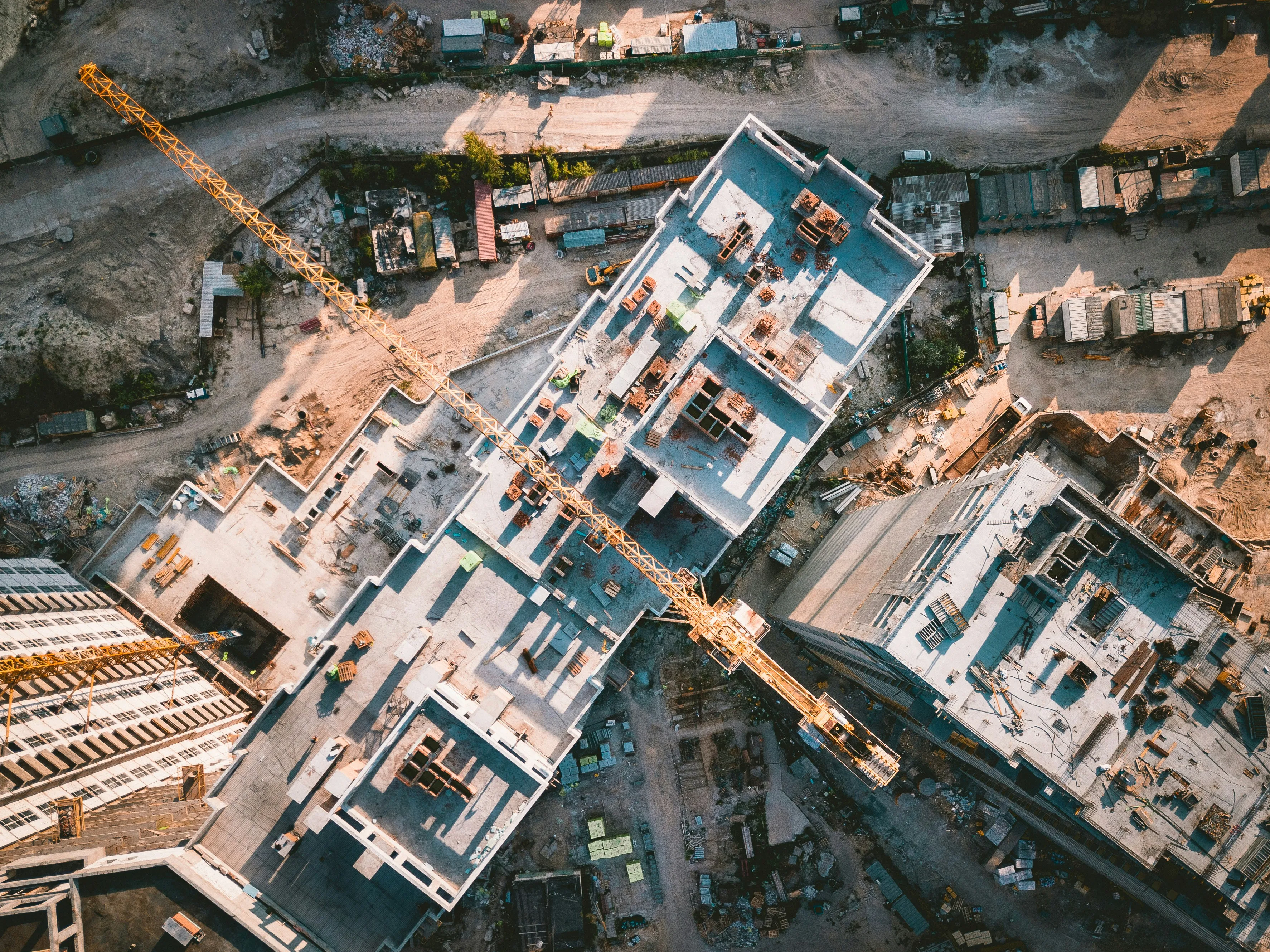
We deliver clear, high‑resolution images and videos that document every stage of your build. Use these visuals to monitor progress, resolve disputes, and keep stakeholders informed.

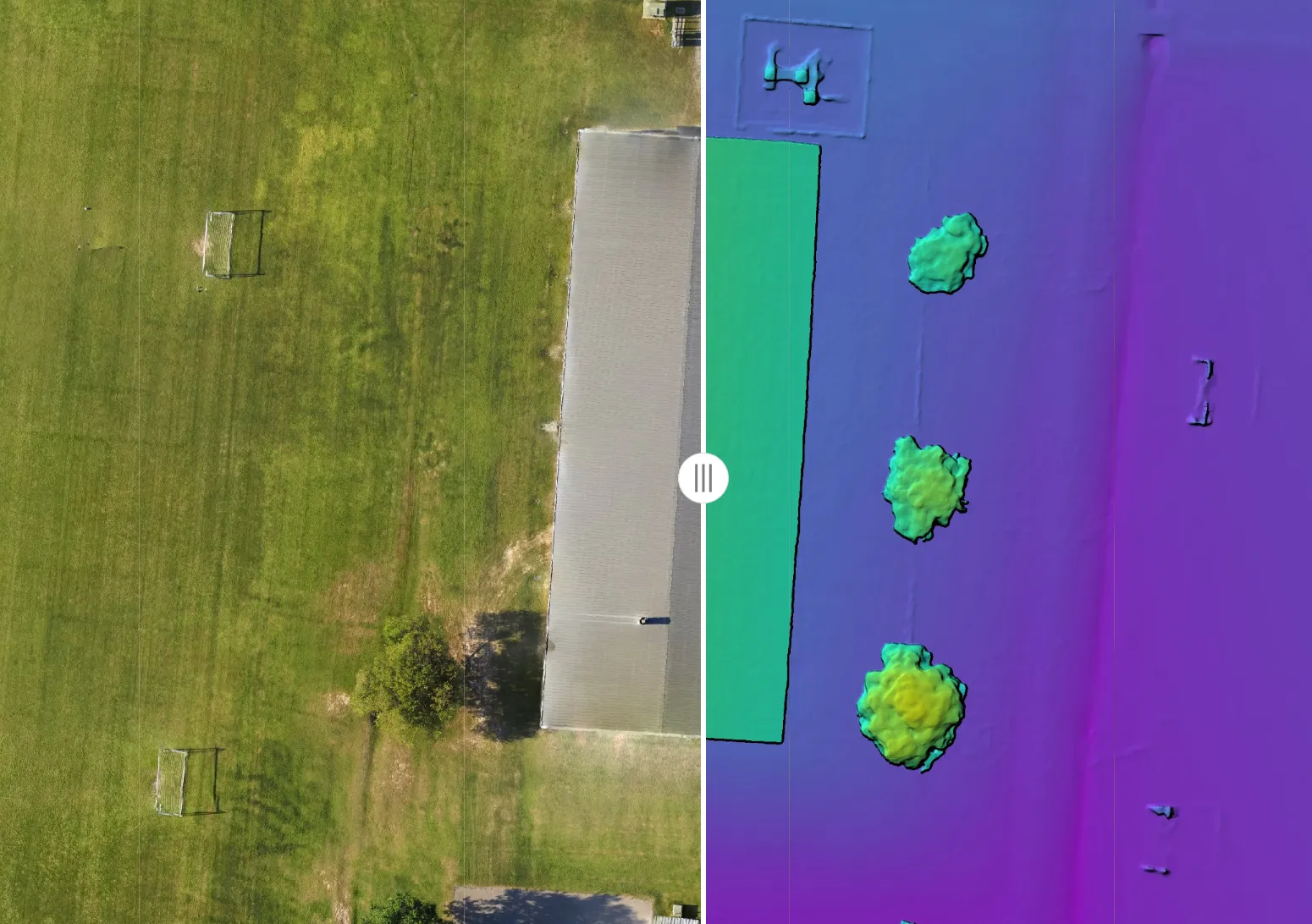
We provide high‑resolution DTMs, DSMs, orthomosaics, and photogrammetric 3D models—ready for integration into your design, analysis, or reporting workflows. Our flexible process lets you tailor formats, resolutions, and GIS integrations to match your exact project needs.
Our services provide the clarity and precision you need to make informed decisions quickly. Let’s discuss how we can tailor our services to your specific needs.